
Training on GPS and mapping for the forest department official
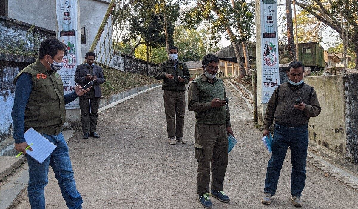
Bangladesh Forest Department (BFD) uses traditional hand-drawn sketch maps for various surveys and interventions. For better forest management through the digitalization of these sketches, during 15-17 November 2020 Compass Program organized the first batch residential training on basic Global Positioning Systems (GPS) and Mapping at Sheikh Kamal Wildlife Centre, Gazipur. During the three days training, BFD officials from Dhaka Management Planning Division, Dhaka Wildlife & Nature Conservation Division, and Dhaka Division learned on both theoretical and hands-on exercises on basic GPS handling, settings, point, line and polygon data collection, saving, transfer, and mapping in Google Earth and others.